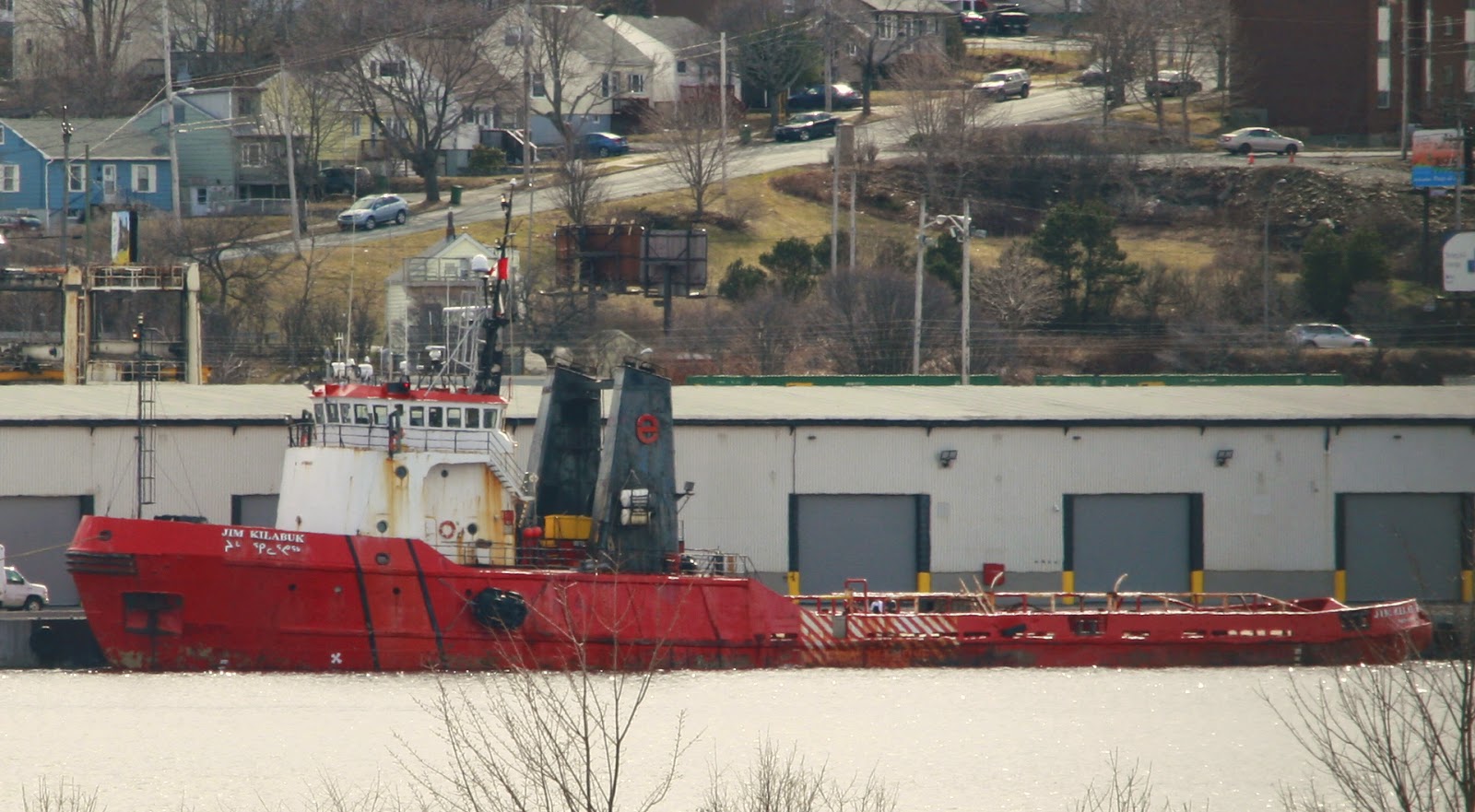
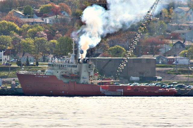
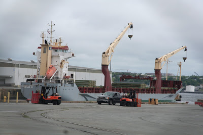
The Jim Kilabuk arrived over the weekend and tied up at Pier9. Built as Canmar Supplier IV in 1975 at the Yarrows yard in Esquimalt, She was intended to be used for Oil Exploration in the Beaufort Sea by Dome Petroleum. After that venture ended, she was sold to Northern Transportation, and took her current name in 1995.
UPDATE: Jim Kilabuk Moved to Jetty NA at Shearwater this morning. this suggests she’s doing work for the Navy. She shows Harbour Grace NL as her destination.
Sister Vessel Canmar Supplier II is a Halifax regular, now working for Atlantic Towing as Atlantic Tern. Though She has been modified, you can still see her original lines.
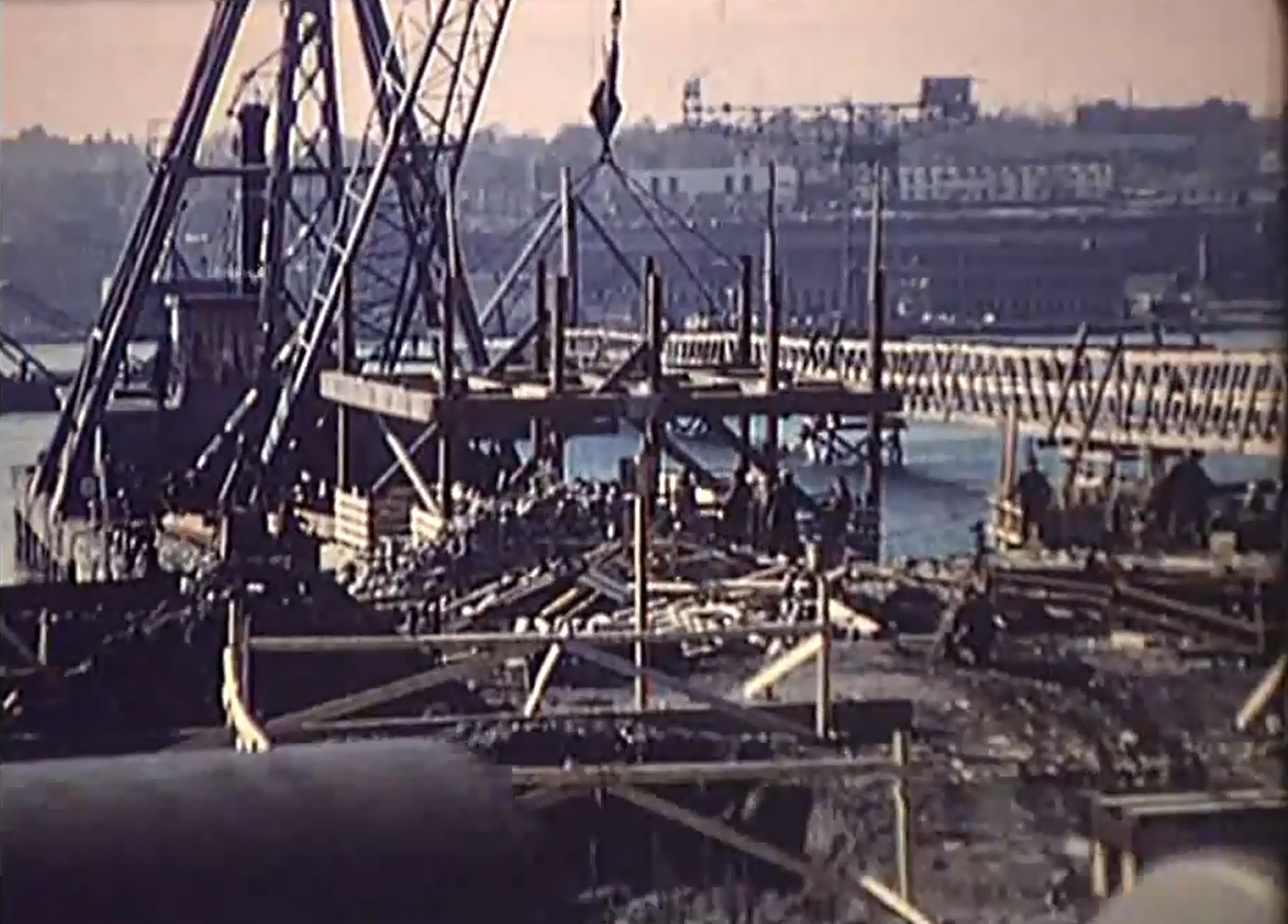
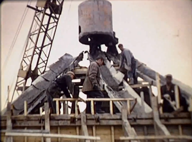
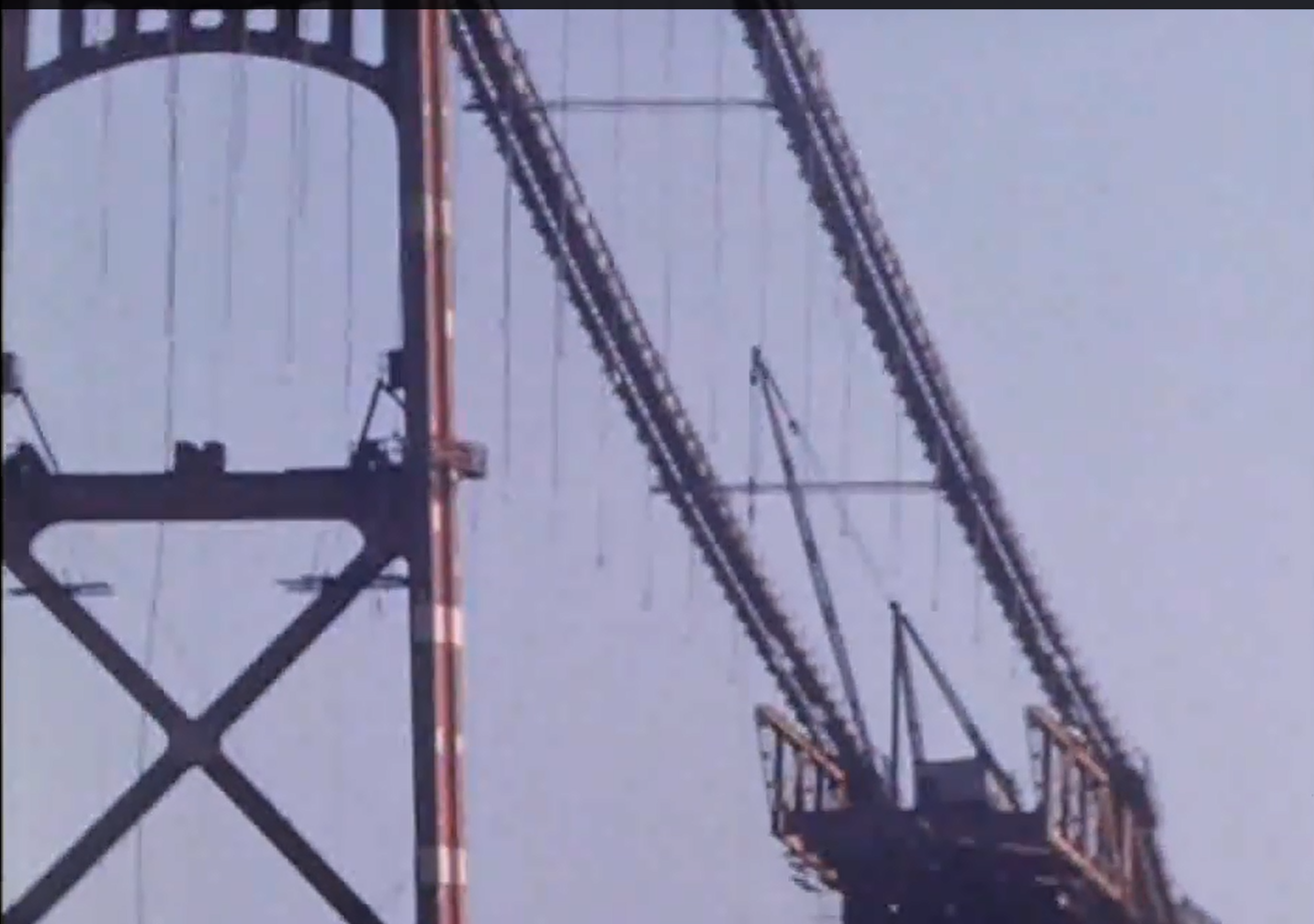
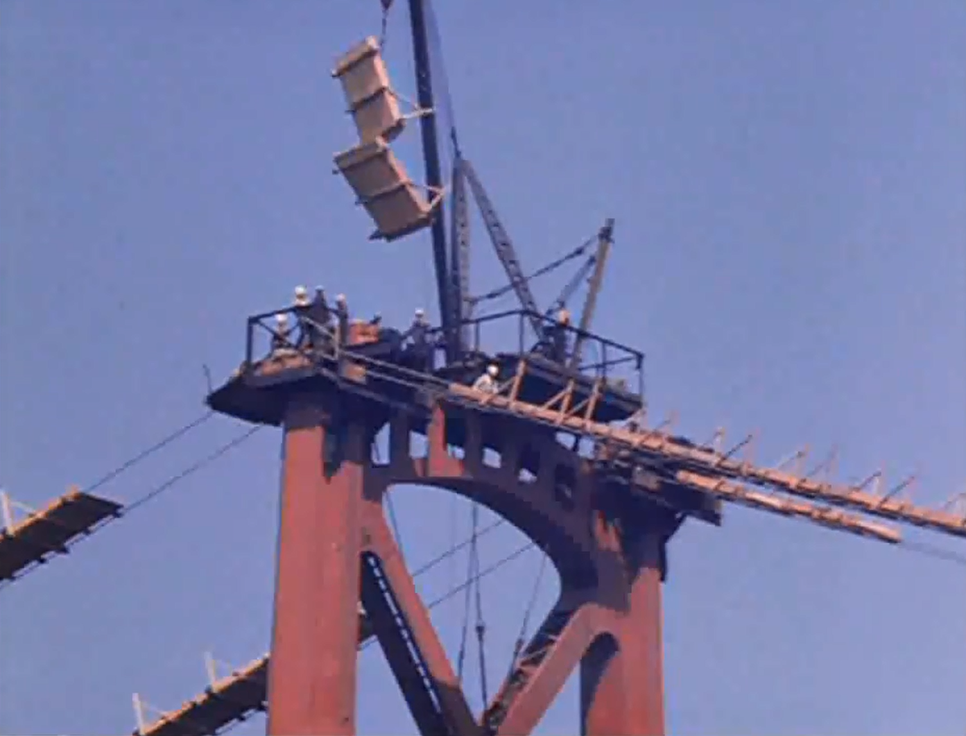
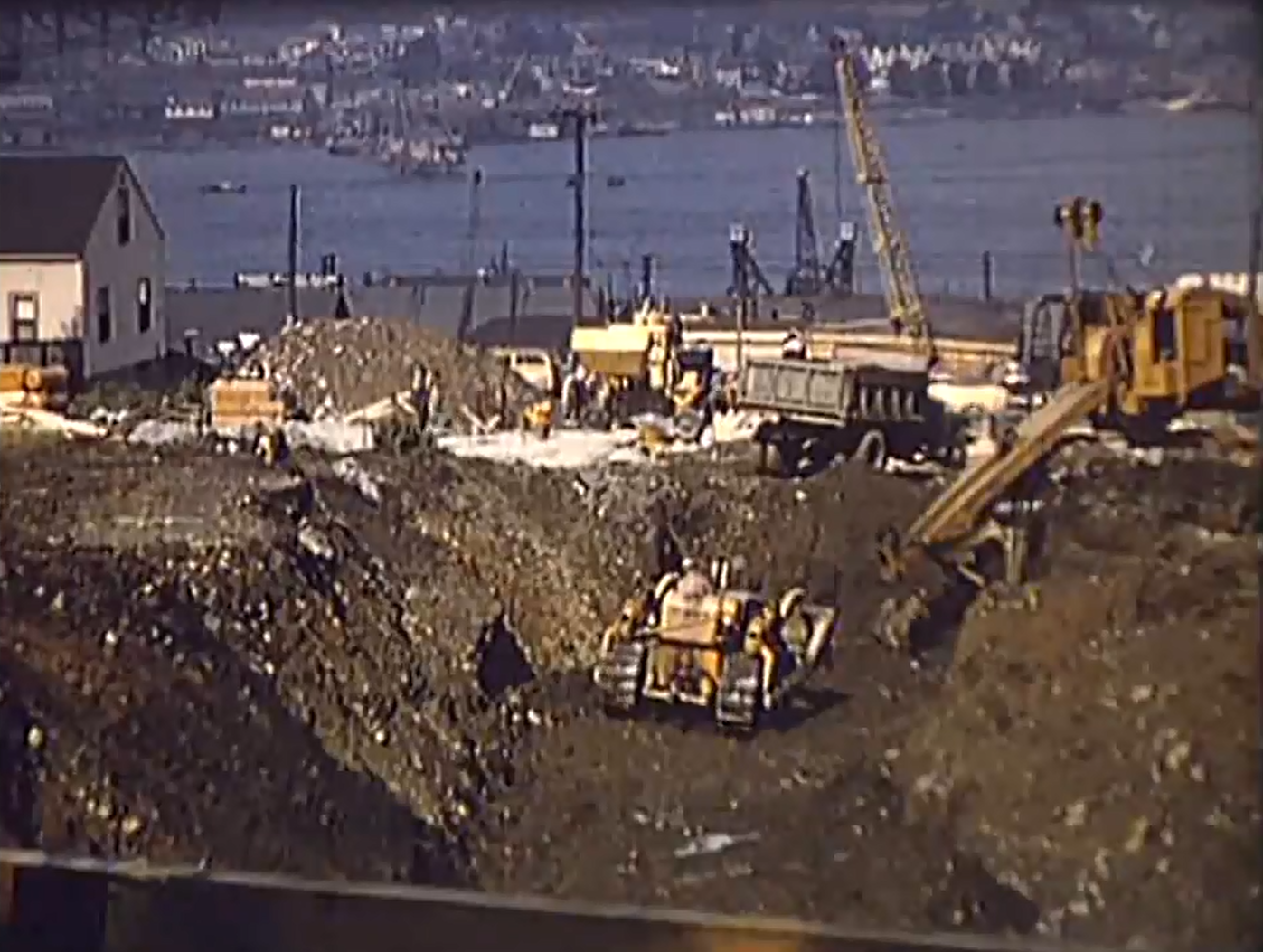
My Other Blog, Built Halifax did a post on the The MacDonald Bridge. Since it Crosses the Harbour, there may be some interest here.
As a Special Treat, here are some of the unused images from that post.
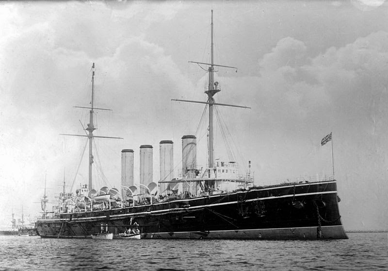
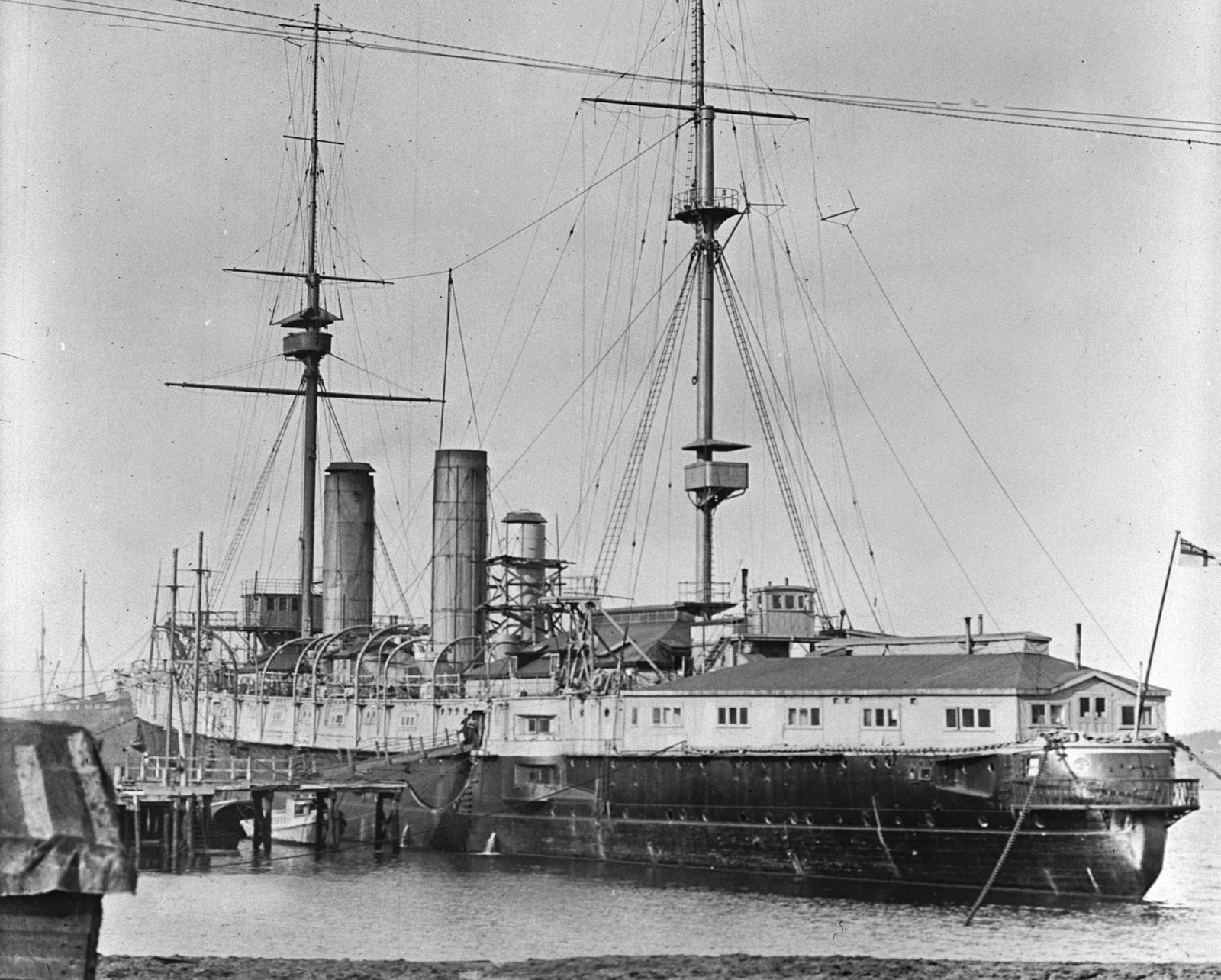 The anchor was unearthed at former Jetty 4, where Building D-19, a Second World War dockside warehouse and one of the first structures at HMC Dockyard, once stood and is now being demolished.
100 years ago today, the SS Ancon was the first vessel to transit the canal. The panama canal was started by the french, who were emboldened by their success building the Suez canal. Panama was very different, and they ran out of money long before they finished digging. The Americans bought the whole operation for pennies on the dollar, adjusted their plans, killed mosquitos, and 100 years ago today succeeded.
David McCullough offers an excellent history of the canal in his book the Path Between The Seas: The Creation of the Panama Canal, 1870-1914
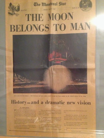
The Morning File on the Halifax Examiner pointed me to the Dartmouth History blog, Where the author is seeking more information about a North Ferry Service between Tufts Cove and The North End of Halifax.
From the Ad, It looks like the service was run by J.H Dauphinee & Sons, and they ran several boats in the harbor for charter work and pleasure cruises.
This summer, the Government of Canada and an unprecedented number of organizations from the public, private and non-profit sectors will partner together, using state-of-the-art technology, to locate the historic ships of the ill-fated 1845 Franklin Expedition. The 2014 Franklin Expedition will also have the added benefit of furthering our knowledge in a number of priority areas, including through the collection of important scientific information about Canada’s most remote region.
Government partners for the 2014 Victoria Strait expedition include Parks Canada, Fisheries and Oceans Canada, the Canadian Coast Guard, the Royal Canadian Navy, Defence Research & Development Canada (DRDC) (an agency of the Department of National Defence), Environment Canada, and the Canadian Space Agency, as well as the Governments of Nunavut and Great Britain.
Private and non-profit partners include the Arctic Research Foundation, the Royal Canadian Geographical Society who additionally brings in The W. Garfield Weston Foundation, Shell Canada and One Ocean Expeditions as partners.
There will be a record number of ships (4) supporting the 2014 Victoria Strait Expedition: CCGS Sir Wilfrid Laurier (Canadian Coast Guard), HMCS Kingston (Royal Canadian Navy), research vessel Martin Bergmann (Arctic Research Foundation) and One Ocean Voyager (One Ocean Expeditions), as well as a number of smaller platform vessels.
Some of the leading technologies to be employed will include the Canadian Space Agency’s RADARSAT-2 satellite imagery, high resolution multi-beam and side-scan sonar, Parks Canada’s remotely operated underwater vehicle, and DRDC’s state-of-the-art autonomous underwater vehicle, which was developed in collaboration with private-sector partners.
Since 2008, over 1,200 km2 of the Arctic seabed, which is equivalent to over 2,200 football fields, has been newly surveyed and charted in the search for the Franklin ships. In 2012, the Canadian Hydrographic Service, with the support of the Canadian Coast Guard, completed new surveys of a route farther south into Alexandra Strait, constituting an alternate route around King William Island and has improved marine safety, search and rescue response time, and fuel economization.
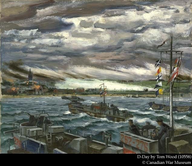
In the painting D-Day (CWM 10558) the atmosphere is almost festive as landing craft of the 262nd Canadian Flotilla bring infantry into Bernières-sur-Mer. The Artist, Tom Wood, Served with the Navy, and was present for the landings.