Thanks to Anthony for the Photos of Western Neptune (Bottom) and Raymond Crozier (Top)


This afternoon we will see Bunkering – US Style.
In Halifax (And much of the rest of the world im told) Bunkering is done from a smallish dedicated Tanker – such as our own Algoma Dartmouth, and the NT Dartmouth before that.
The shuttle tankers Kometik and Mattea will be bunkered via the Barge Columbia with the Tug Siberian Sea. It is common in the US to use a Tug and Barge to move oil, as this combination requires less crew then a full tanker does. This sort of combination makes periodic apperances at the Imperial Oil Docks.
There is no word on why Algoma Dartmouth is not being used, However it could be the Algoma Dartmouth, or the Low Sulfer Fuel required is unavailable. UPDATE: It appears the Low Sulfer Fuel is not currently available in Halifax. In the Fall refinery shift their product lines, and Imperial Oil may currently be shutdown for that transition. Algoma Dartmouth was imported to Canada, but an agreement was made that it could not trade outside the Harbour, or the Substantial Import Duty would need to be paid on her. Thus she is unavailable to make the trip to St John NB.
The Tug Siberian Sea and Barge Columbia are owned by K-SEA OPERATING LLC, and are based out of New York NY. The tug was built in 1980 and is Powered by two EMD 12-645 E-2 diesel engines, she is a twin screw tug rated at 3,300 horsepower. The Barge Columbia has a capcity of 58000 Barrels.
Eta is 1400. Photos to follow.
The tug and barge arrived after 6pm tonight, and set right to work. The Barge is hard to see as it it very low in the water. Better Daylight Photo’s Tomorrow.

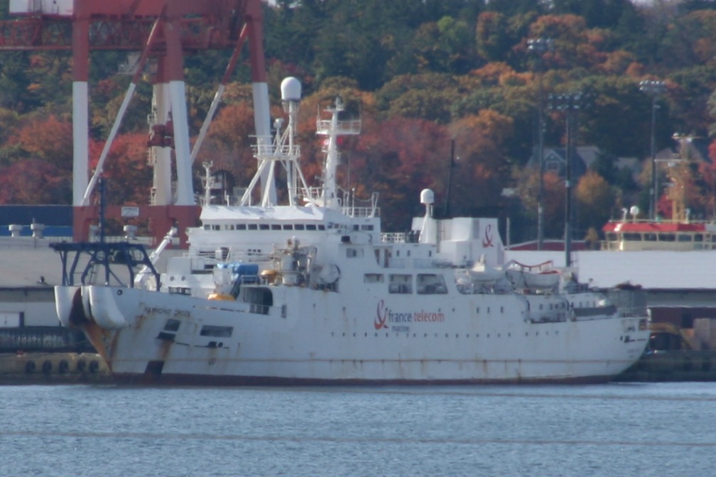
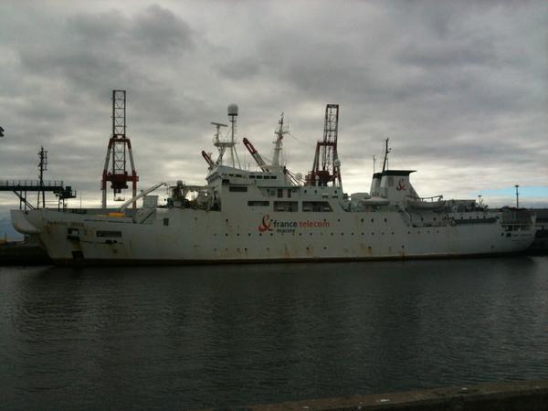
The France Telecom Marine ship Raymond Croze arrived this morning and tied up at Pier 30. Alas The port had containers in the way so i coculdnt get an unobstructed view of her.
Updated – Picture from the Dartmouth Side.

The Western Neptune is Survey vessel belonging to Western Geco. Such vessels are used in sub sea geophisical surveys – typically for oil and gas. Western Geco appears to specialize in surveying existing resevoirs, so they may be here doing work on the Sable or Deep Panuke gas fields.

Kometik, Sporting A fresh paint job. You can see her back in June in a previous post.


Jewel of the Seas, Passing York Redoubt

She looks to be in rough shape, which is not unsurprising given she spent 6 weeks under water.
The Port Authority was hoping to seel her to recover costs. It doesnt look like there is anything of value left.

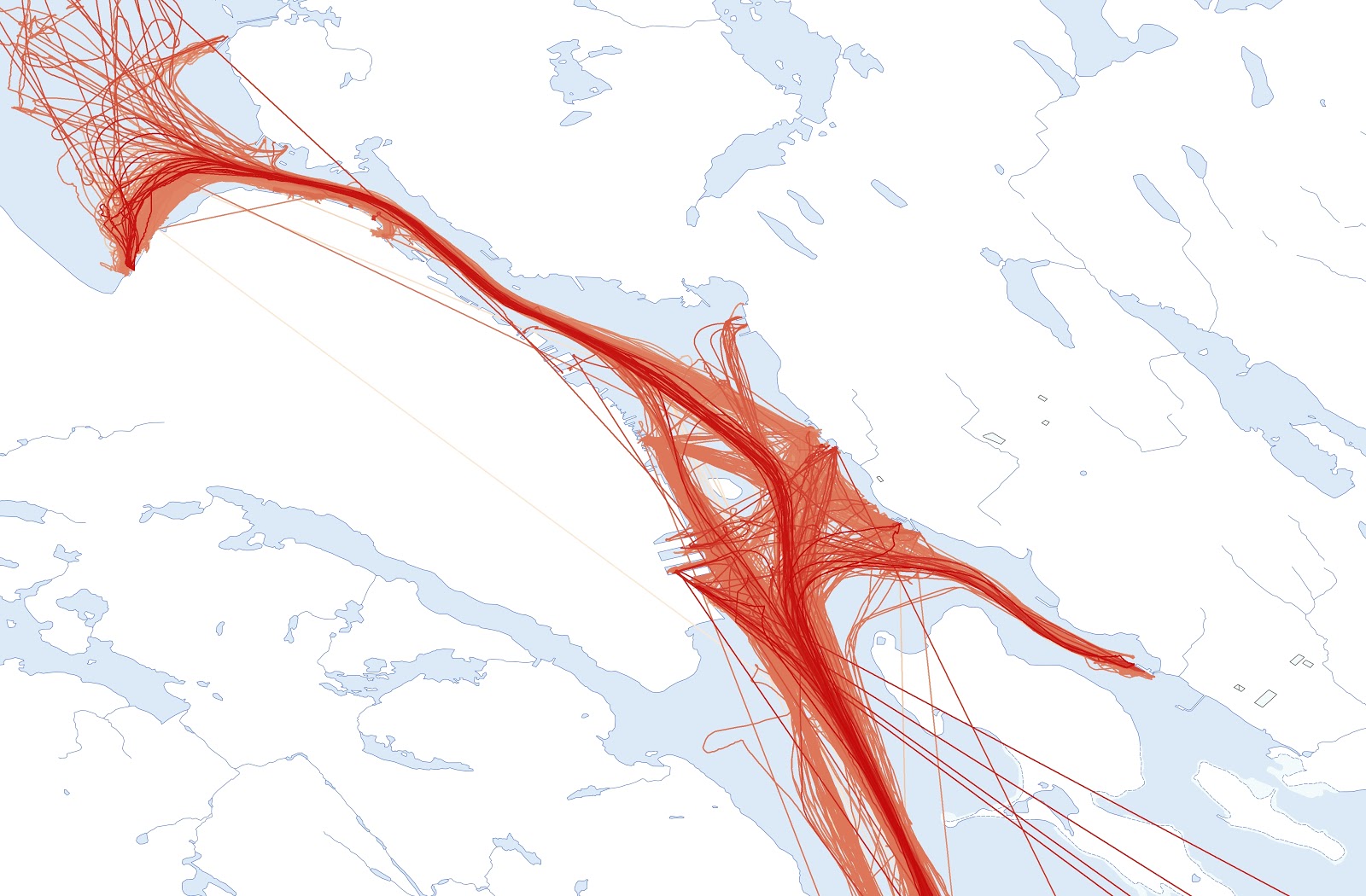
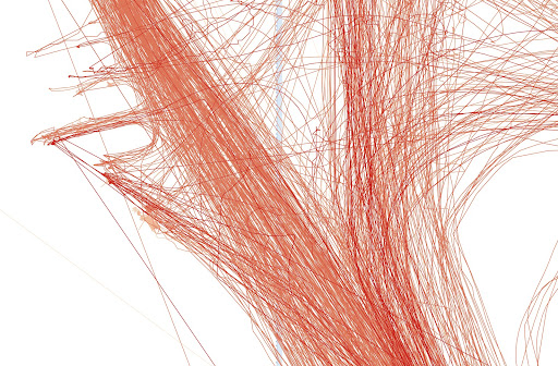
The Image above is all traffic in Halifax Harbour, for the month of November 2011. (1:150000 scale)
the images were produced from the position data of the various vessels transiting the harbour. the individual points were joined to form lines, then overlaid on Halifax in Arcgis.
(Below 1:7500 scale HalTerm)


HMCS Kingston, Running in the Bedford Basin today. She appears to be running with the Route Survey package, with a towed sonar.
The Route Survey Package allows the ship to produce state of the art, high quality imagery of the ocean bottom with the use of multi-beam side scan sonar housed in a streamlined active body known as a towfish. This information is used for route mapping, detection and classification of mine-like objects and the optimization of ocean route planning.